Geodir Maps
Version:3.0.4
Published:2024-08-10
Introduction
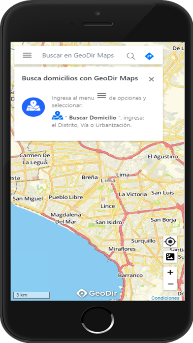
Geodir Maps is the ultimate solution for boosting the efficiency and productivity of your field personnel. With its state-of-the-art tracking and optimized routing capabilities, this app revolutionizes the way your team operates. Gone are the days of wasted time and inefficient work processes. Geodir Maps helps you streamline your operations, capture crucial data, and drastically reduce response time. Its cutting-edge geolocation technology allows for seamless route planning and real-time tracking, ensuring your team is always on the right path. Say goodbye to manual tasks and hello to a whole new level of productivity with it.
Features of Geodir Maps:
Tracking and Optimized Routing: It offers the ability to track and optimize routes, making it a valuable tool for field personnel. By efficiently planning routes and tracking their progress, users can save time and streamline work processes.
Increased Productivity: This application is designed to boost productivity in the field. By automating various field operations and providing real-time data capture, it helps field personnel work more efficiently and effectively.
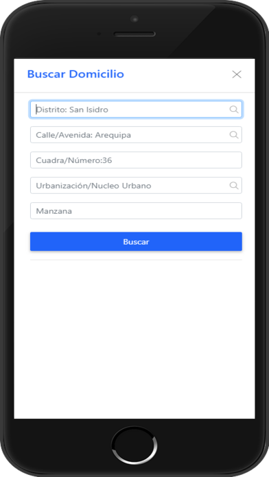
Improved Data Capture: It allows users to collect and store data seamlessly. This not only decreases response time but also enables users to access valuable information for analysis and decision-making.
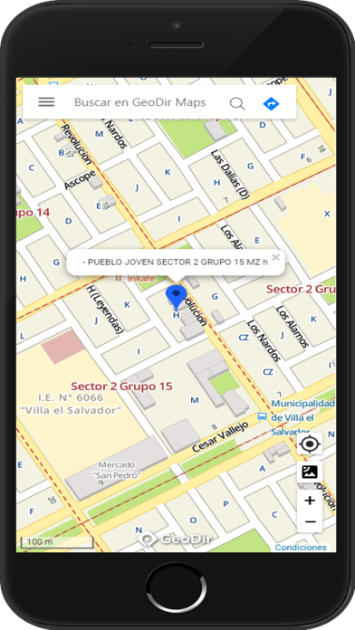
Route Planning and Geolocation Tracking: With it, users can plan routes and track their location through geolocation. This feature ensures that field personnel can navigate accurately, leading to more efficient and effective work execution.
Tips for Users:
Optimize your routes: Take advantage of its optimized routing feature to plan the most efficient routes for your field operations. This will help you save time and resources, ultimately increasing productivity.
Capture data in real-time: Use the application's data capture feature to collect information as you go. This eliminates the need for manual data entry later and improves response time, allowing you to make faster decisions.
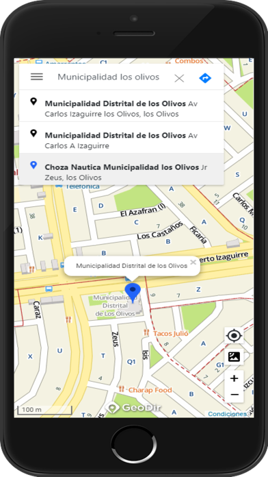
Leverage geolocation tracking: Make sure to enable geolocation tracking in it. This will allow you to keep track of your current location, ensuring accurate navigation and efficient work execution.
Conclusion:
Geodir Maps offers various attractive features for field personnel. With its tracking and optimized routing capabilities, users can save time and improve work processes. The application also enhances productivity by automating field operations and providing seamless data capture. Furthermore, it enables efficient route planning and geolocation tracking, ensuring accurate navigation in the field. By utilizing the playing tips, users can maximize the benefits of it and enhance their field work. Download it now to optimize your field operations and increase productivity.
Show More
Information
Screenshots
Latest Update
Hot Tags
Latest News
-
-
-
PUBG Mobile Teams Up with Bentley Motors: Luxury Cars, Exclusive Collectibles, and Beyond 2024-04-18
-
-
V2.2 of the Farlight 84 update introduces an overhauled Season structure, fresh in-game currency, an 2024-04-16
-
-
April 2024 Clash of Clans Update: Unveiling a Fresh Companion, Enhanced Levels, Chat Tagging, and Be 2024-04-16


