
Earthquake Tracker
Version:6.7.2
Published:2026-10-31
Introduction
Earthquake Tracker is a compact utility that collects seismic reports from reliable global sources and presents recent earthquake activity in a clear, actionable format within seconds of detection. The app displays location, magnitude and depth, provides summarized statistics for quick situational assessment, and sends configurable alerts for events that match your criteria. Earthquake Tracker is designed for people who need timely situational awareness—whether you monitor local tremors, follow regional seismic trends or track major quakes worldwide.
Key features and reporting
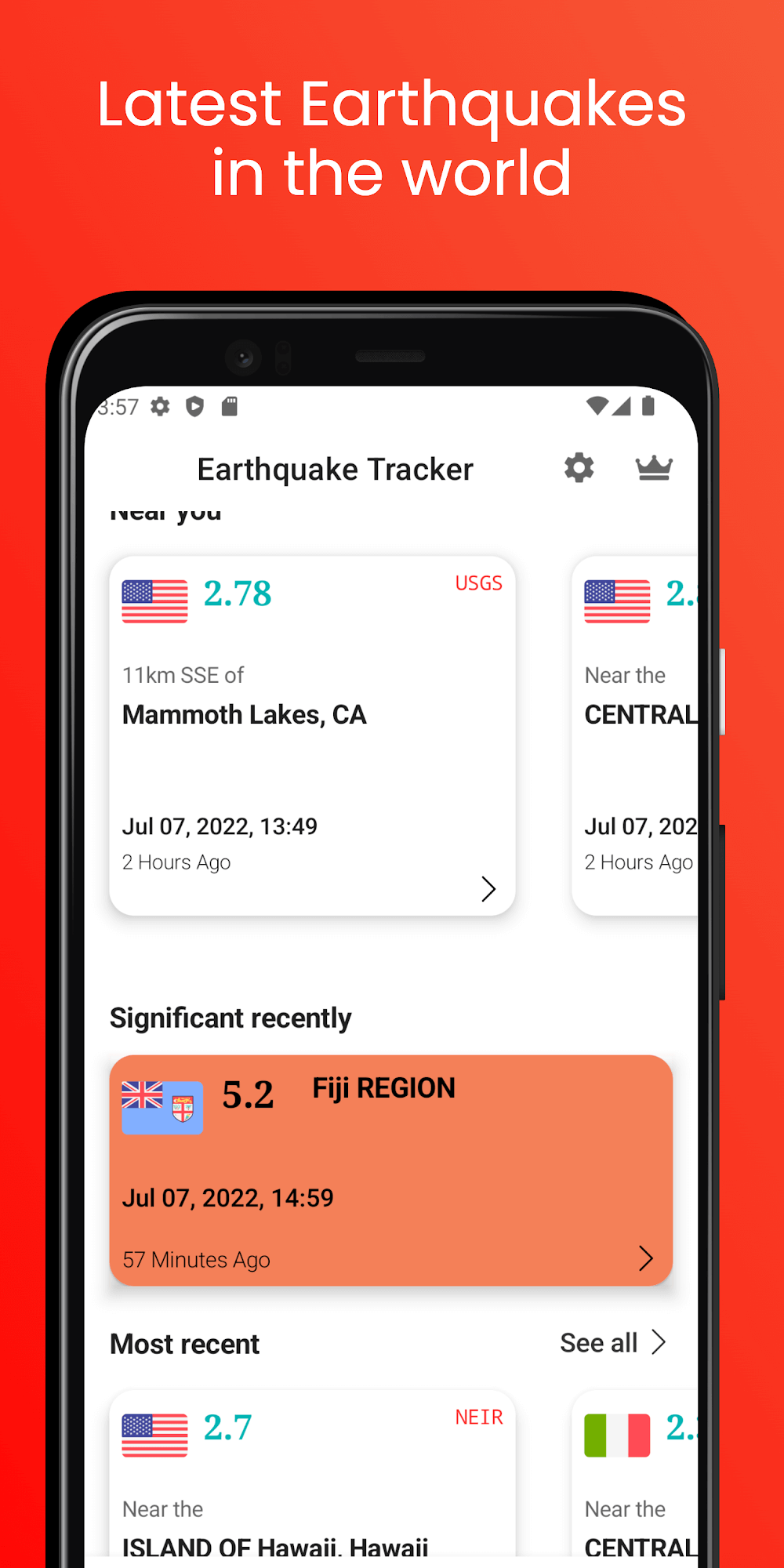
Earthquake Tracker aggregates real-time feeds from trusted seismological centers and converts raw event records into readable lists and timelines. Each event entry includes approximate epicenter coordinates, reported magnitude ranges, depth, local time and an indicator of reporting sources. The app supports multiple view modes so you can switch between a concise list of recent activity and an expanded record with source links and news snippets when available. Notifications are dispatched quickly after event ingestion and can be tailored by magnitude, distance from saved locations and time window.
Interactive map controls and navigation
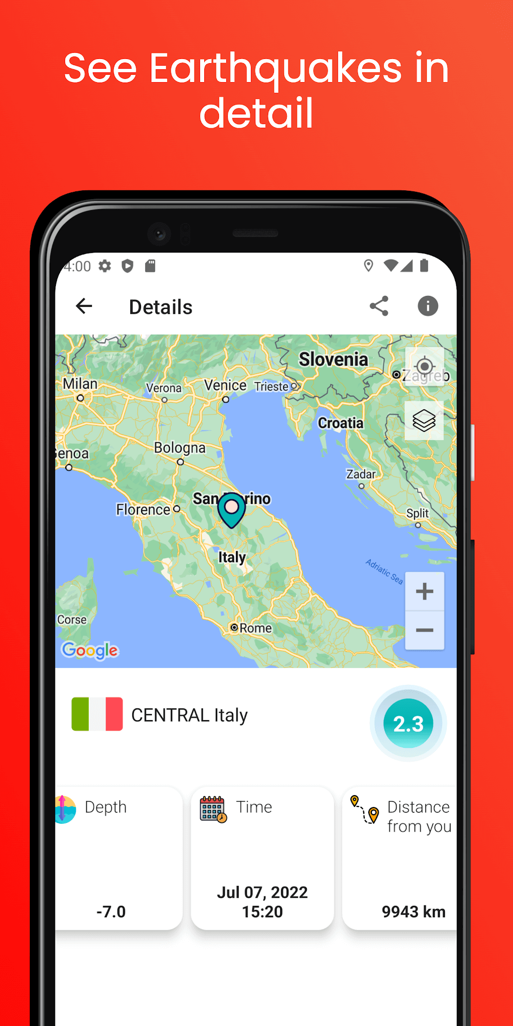
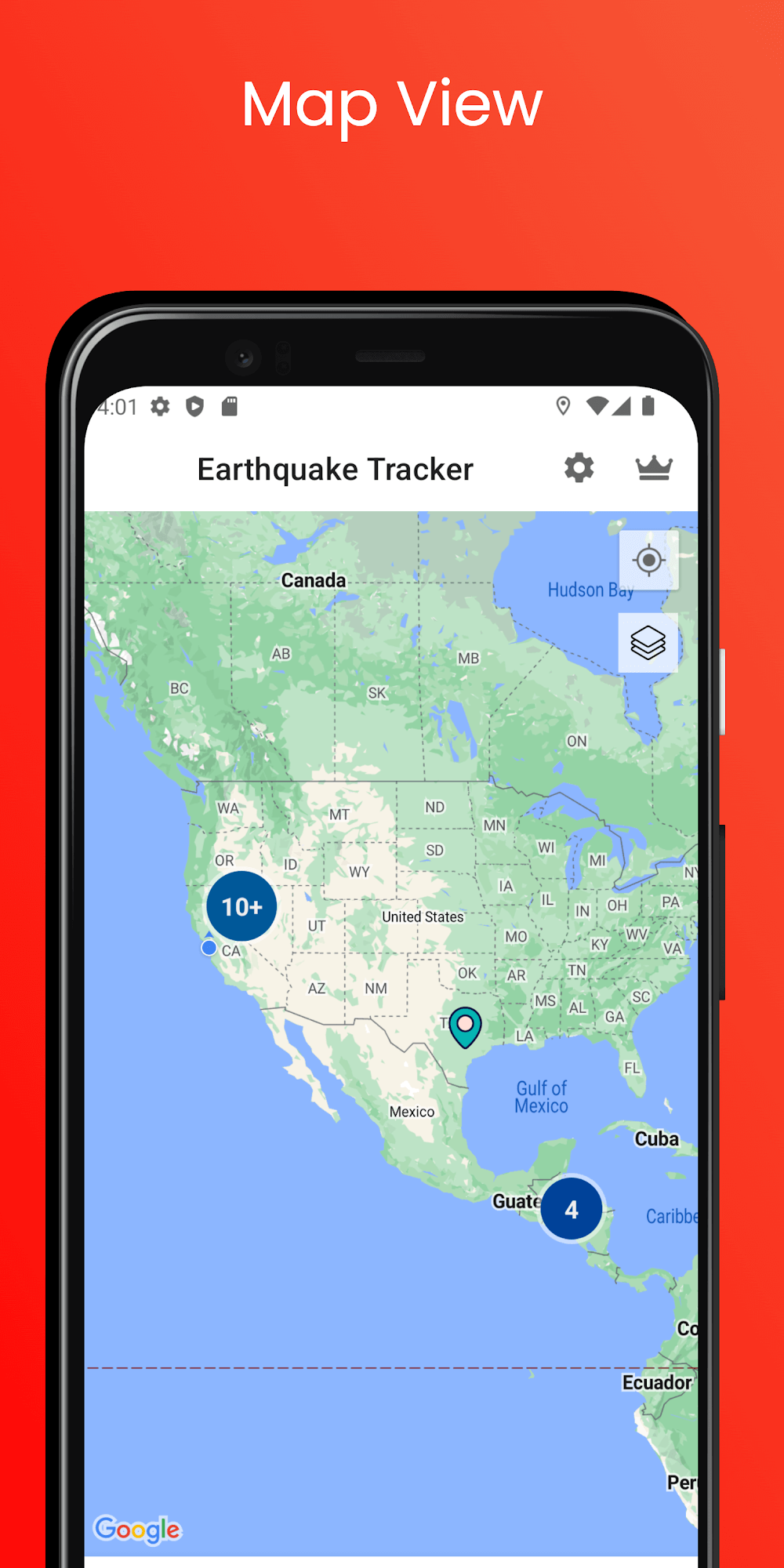
The core map interface in Earthquake Tracker is interactive and gesture-driven: pinch to zoom, swipe to pan, rotate for 3D perspective and tap markers for detailed event cards. You can add persistent markers for home, work or other areas of interest; those marked regions become targets for area-specific alerts. Map layers and view presets let you toggle between satellite imagery, political boundaries and a simplified heatmap that highlights clusters of recent activity. The map performance is optimized for smooth panning on mid-range devices while preserving informational clarity.
Customization, monitoring profiles and progression
Rather than a one-size-fits-all feed, Earthquake Tracker allows you to create and save multiple monitoring profiles so alerts and filters match different needs. Profiles can be named and configured with distinct magnitude thresholds, radius distances around saved points, and active time windows (for example, daytime monitoring versus 24/7). This approach creates a simple progression in how the app adapts to your priorities: start with a broad global feed, then add focused profiles as you identify locations or magnitude bands you want to follow closely.
Visual style and data presentation
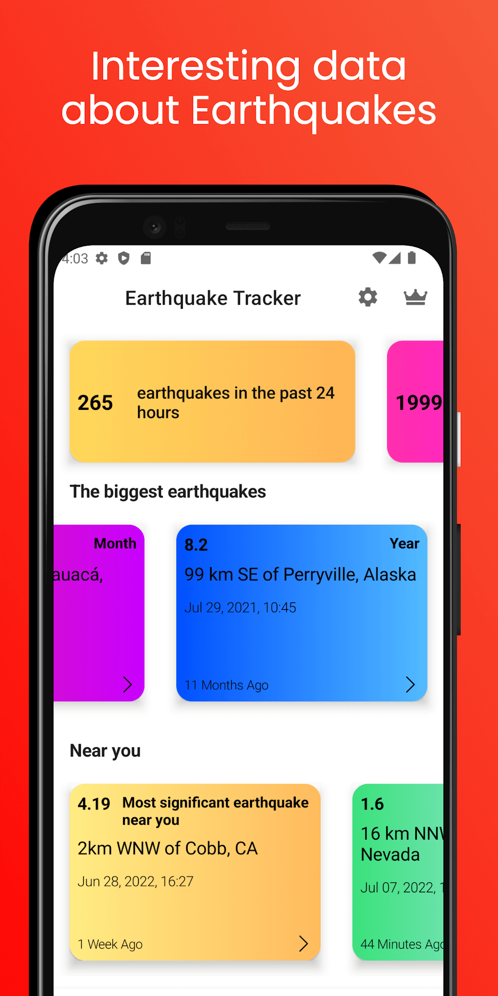
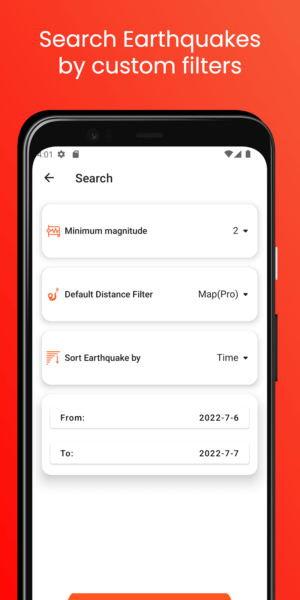
The app favors a clean, information-first visual style with consistent color coding for magnitude bands, clear typography and contrast levels suitable for day or night use. Event cards include compact graphs showing recent frequency and magnitude distribution so you can quickly grasp trends at a glance. Lists and timelines are sortable and searchable, and each event entry links to the originating reports where available, preserving transparency about data provenance.
Replay value, saved history and offline behavior
Earthquake Tracker earns ongoing value through repeat use: saved profiles, bookmarked events and short-term cached history let you revisit recent activity even when network conditions change. The app stores a rolling window of recent events locally so you can inspect the last several hours of reports while offline. Cached items include map tiles for recently viewed areas and event details, making the interface usable for quick reference without a live connection; full updates and extended history require network access.
Accessibility and user experience
The design pays attention to accessibility: adjustable text sizes, a colorblind-friendly palette option and vibration-based notification modes for devices that support haptics. Settings allow you to limit background updates to preserve battery, choose a low-data mode for constrained networks, and control which notifications are allowed during quiet hours. The app works well on phones and tablets and tries to keep critical alerts visible even when the device is locked, subject to platform permissions and device settings.
Limitations and operational notes
Earthquake Tracker depends on external seismic feeds and local network conditions: accuracy, event completeness and timeliness are bounded by the capabilities of upstream data providers and your device connectivity. Push notifications and background map refresh can be affected by battery-saving modes or OS-level restrictions, and very small or remote events may be reported with latency. The app provides source references for each event so you can cross-check details and understand any reporting caveats.
Who should use it
This tool is useful for emergency managers, field personnel, researchers and curious individuals who want transparent, timely seismic information without unnecessary complexity. Earthquake Tracker focuses on presenting data clearly, offering practical monitoring controls, and preserving contextual links to original reports so users can follow developments responsibly and with awareness of data limitations.
Show More
Information
Screenshots
Latest Update









Hot Tags
Latest News
-
![Revealing the Launch Playlists and Cross-Progression for COD Warzone Mobile News]()
-
![March 2024 Free Redemption Codes for Honkai: Star Rail News]()
-
PUBG Mobile Teams Up with Bentley Motors: Luxury Cars, Exclusive Collectibles, and Beyond 2024-04-18
![PUBG Mobile Teams Up with Bentley Motors: Luxury Cars, Exclusive Collectibles, and Beyond News]()
-
![Monster Never Cry is now accessible on both Android and iOS mobile devices. News]()
-
V2.2 of the Farlight 84 update introduces an overhauled Season structure, fresh in-game currency, an 2024-04-16
![V2.2 of the Farlight 84 update introduces an overhauled Season structure, fresh in-game currency, an News]()
-
![Arrival of Genshin Impact 4.6 Update: 'Embers of Two Realms, Twilight of Crimson' News]()
-
April 2024 Clash of Clans Update: Unveiling a Fresh Companion, Enhanced Levels, Chat Tagging, and Be 2024-04-16
![April 2024 Clash of Clans Update: Unveiling a Fresh Companion, Enhanced Levels, Chat Tagging, and Be News]()