

Zoom Earth
Version:6.3
Published:2026-11-19
Introduction
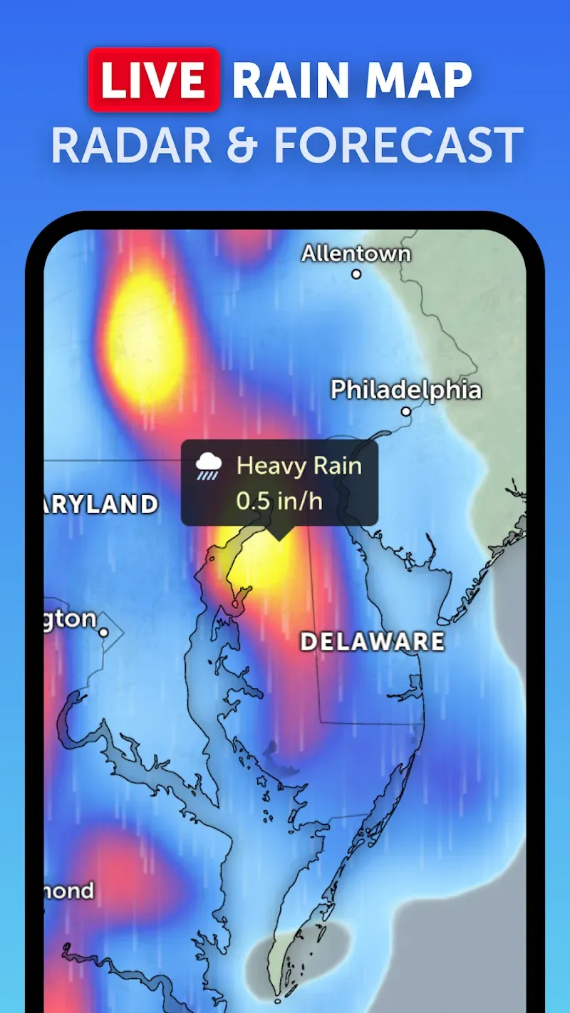
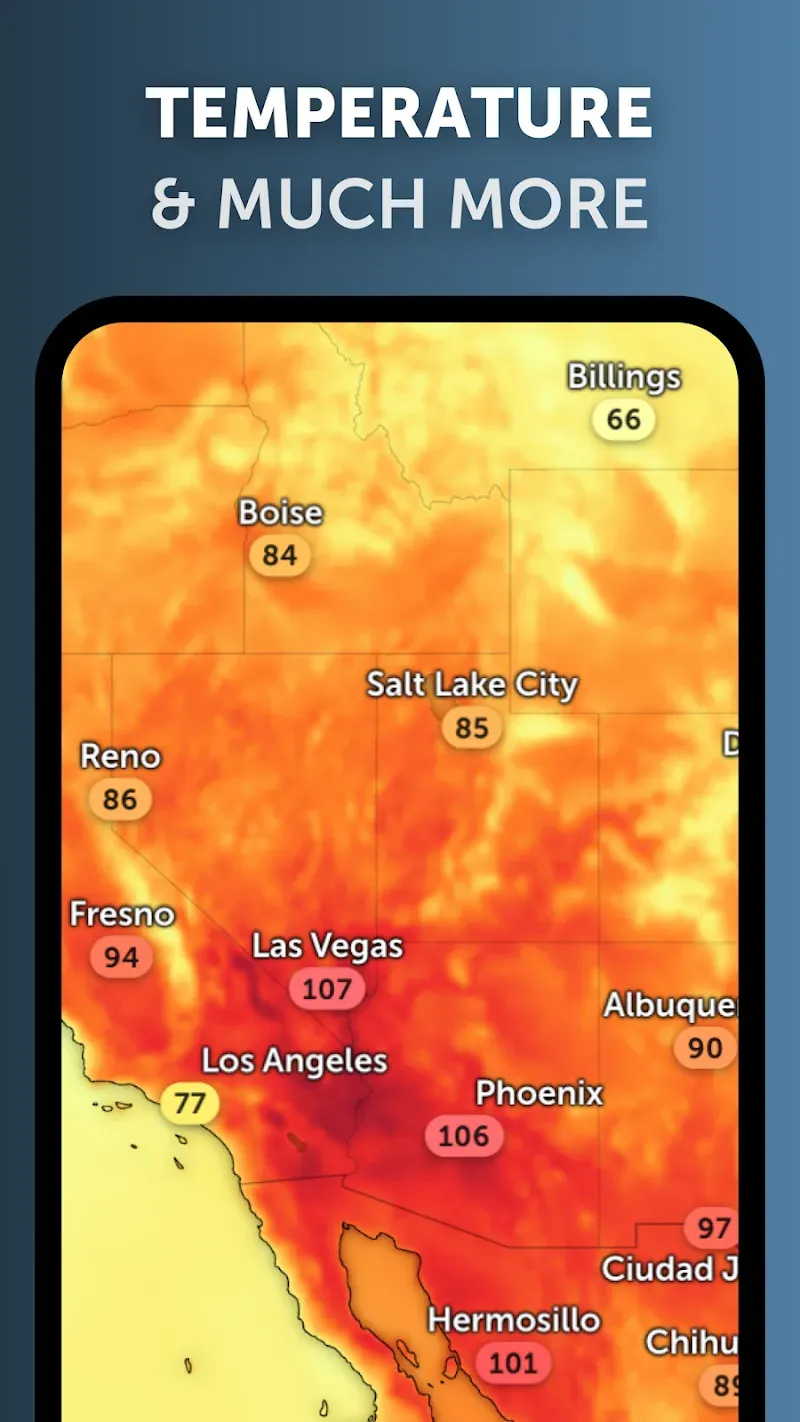
Zoom Earth brings near-real-time satellite imagery, radar and model forecasts together on a single interactive map so you can monitor storms, check temperature and wind patterns, track wildfires and plan around precipitation for any city or region. The app aggregates frequent GOES, Himawari and Meteosat updates plus twice-daily high-definition Aqua and Terra captures, and pairs them with global model fields and fire detection layers to give an integrated situational picture that is easy to explore on phones and tablets.
Key features and data sources
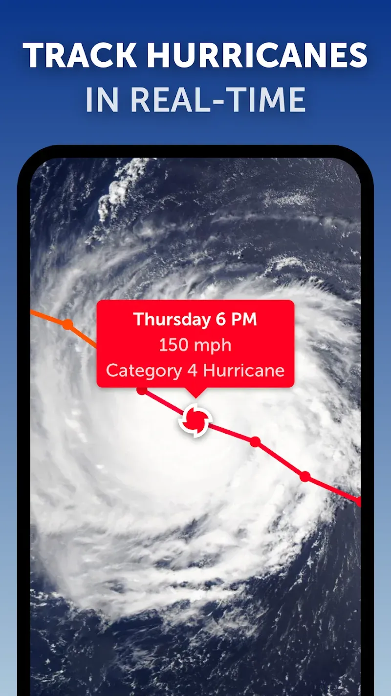
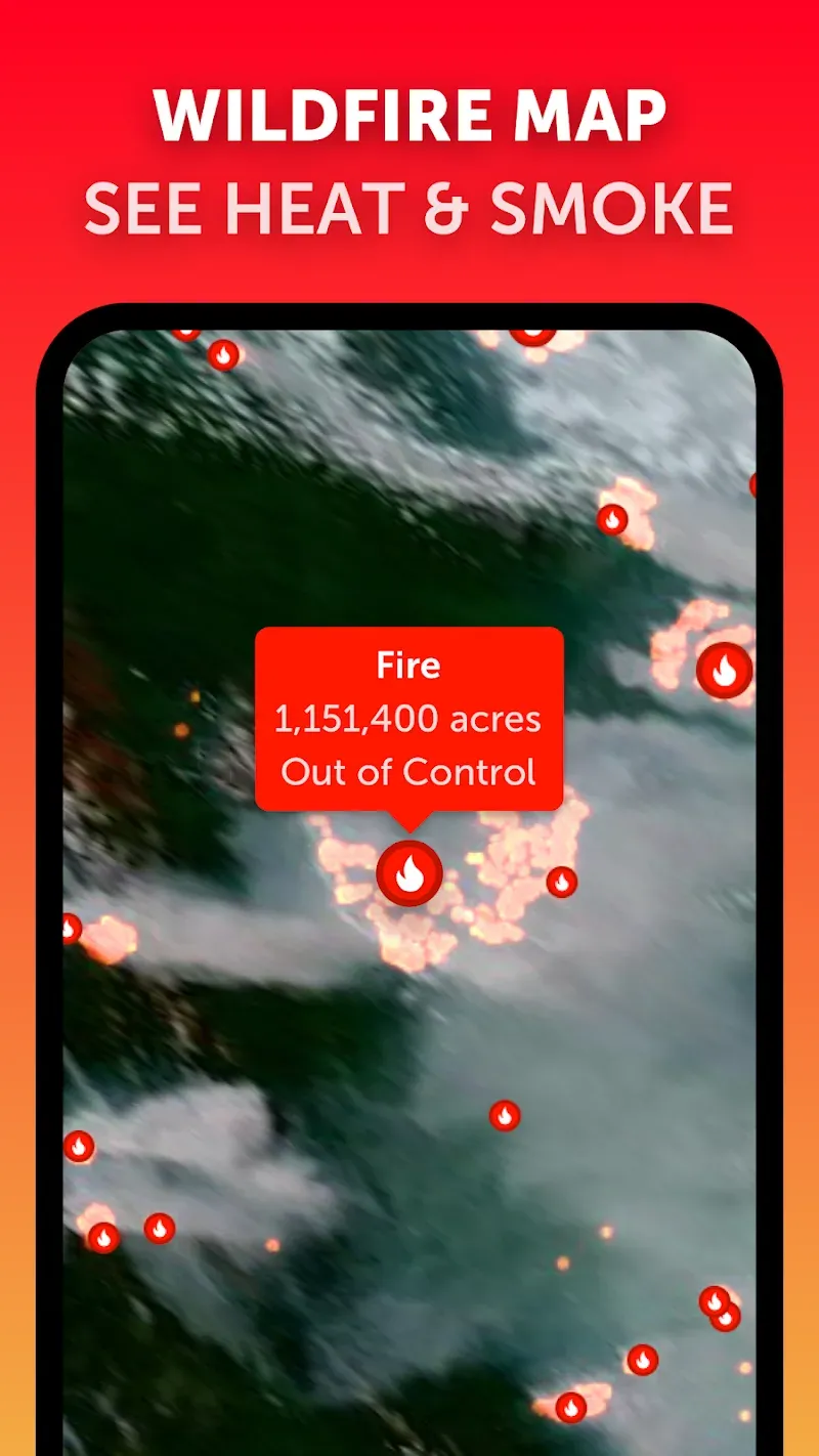
The map combines multiple sensor types and authoritative archives: geostationary and polar-orbiting satellite imagery, live rain radar where available, model forecasts such as DWD ICON and NOAA GFS, and wildfire heat-spot detections from NASA FIRMS with GeoColor smoke overlays. Tropical cyclone positions and historical tracks are accessible through IBTrACS-based archives, enabling side-by-side comparisons of past and present system evolution. Each dataset is presented as a selectable layer that you can blend, animate and examine in detail.
Interaction mechanics and controls
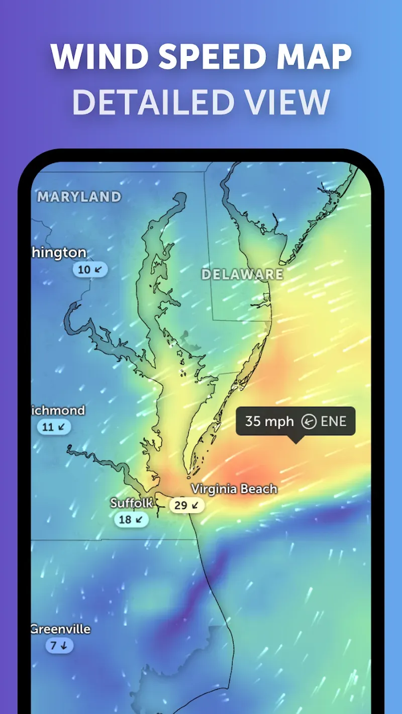
Navigation is designed around direct map interaction: pinch to zoom, swipe to pan, double-tap to refocus and tap features for point inspection. A time slider lets you step forward and backward through model forecasts and satellite loops or play animations to visualize system movement. Layer controls allow opacity adjustment and ordering so you can emphasize radar over satellite, or overlay wind and humidity fields on top of fire hotspots. Tap-and-hold or a location search box lets you center the view on a city or coordinate and inspect values for a single point over time.
Progression, replay and analysis tools
Rather than levels, progression in Zoom Earth comes from exploring temporal depth and archived events: replay past storms, compare track archives to current observations and step through forecast timesteps to see how predicted conditions change. The track view provides an easy comparison of multiple cyclone runs and historical positions while point-based time series let you review how temperature, precipitation or wind evolved at a specific site. These capabilities extend the app beyond a snapshot viewer into a tool for short-term planning and basic research.
Visual style and map structure
Imagery is presented in natural color, infrared and enhanced GeoColor palettes depending on the source, with high-definition polar passes available twice daily for detailed views. The global map structure supports both broad hemispheric overviews and tiled regional zoom levels so you can move from a planetary perspective down to street-level context where satellite resolution allows. Legends and on-screen labels explain color scales and units to make interpretation straightforward across different visual modes.
Customization, accessibility and user experience
Users can tailor their experience by choosing which layers are visible, adjusting units between metric and imperial where applicable, and controlling animation speed for time loops. Accessibility considerations include clear contrast modes, scalable text for map labels and descriptive tooltips for key controls so the interface remains usable on a range of devices. The app aims for responsive performance with progressive loading of tiles and an interface optimized for touch input.
Offline behavior and limitations
Zoom Earth is data-driven: live satellite and radar feeds require an internet connection and model fields are downloaded on demand. The map caches recently viewed tiles for limited offline reference, but time-dependent layers such as radar nowcasts and fresh satellite passes are not available offline. Users should expect typical satellite refresh delays of around 20 to 40 minutes and occasional regional gaps in radar coverage, since the rain radar feature is provided in beta and coverage varies by country.
Reliability, intended use and development
The app is intended for situational awareness, planning and informal research rather than for certified decision-making in professional emergency response. Zoom Earth aggregates publicly available sensor and model data and the development team works continuously to validate sources, improve display consistency and make the platform easier to navigate. For users who need precise operational guidance, always consult official forecasts and local authorities in addition to the map views provided here.
Show More
Information
Screenshots
Latest Update











Hot Tags
Latest News
-
![Revealing the Launch Playlists and Cross-Progression for COD Warzone Mobile News]()
-
![March 2024 Free Redemption Codes for Honkai: Star Rail News]()
-
PUBG Mobile Teams Up with Bentley Motors: Luxury Cars, Exclusive Collectibles, and Beyond 2024-04-18
![PUBG Mobile Teams Up with Bentley Motors: Luxury Cars, Exclusive Collectibles, and Beyond News]()
-
![Monster Never Cry is now accessible on both Android and iOS mobile devices. News]()
-
V2.2 of the Farlight 84 update introduces an overhauled Season structure, fresh in-game currency, an 2024-04-16
![V2.2 of the Farlight 84 update introduces an overhauled Season structure, fresh in-game currency, an News]()
-
![Arrival of Genshin Impact 4.6 Update: 'Embers of Two Realms, Twilight of Crimson' News]()
-
April 2024 Clash of Clans Update: Unveiling a Fresh Companion, Enhanced Levels, Chat Tagging, and Be 2024-04-16
![April 2024 Clash of Clans Update: Unveiling a Fresh Companion, Enhanced Levels, Chat Tagging, and Be News]()