

Gps Photo Location
Version:4.2.0
Published:2026-11-10
Introduction
Location-aware photo mapping tools turn ordinary snapshots into a navigable record of where and when you were. Gps Photo Location bundles a GPS-enabled camera with a map-focused gallery so that each image becomes a waypoint on a visual journey. If you travel often, document projects in the field, or simply want a more organized photo history, Gps Photo Location makes it simple to attach precise place and time details to your pictures and browse them on a single interactive map.
Wonderful Features of Gps Photo Location
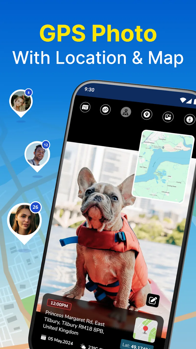
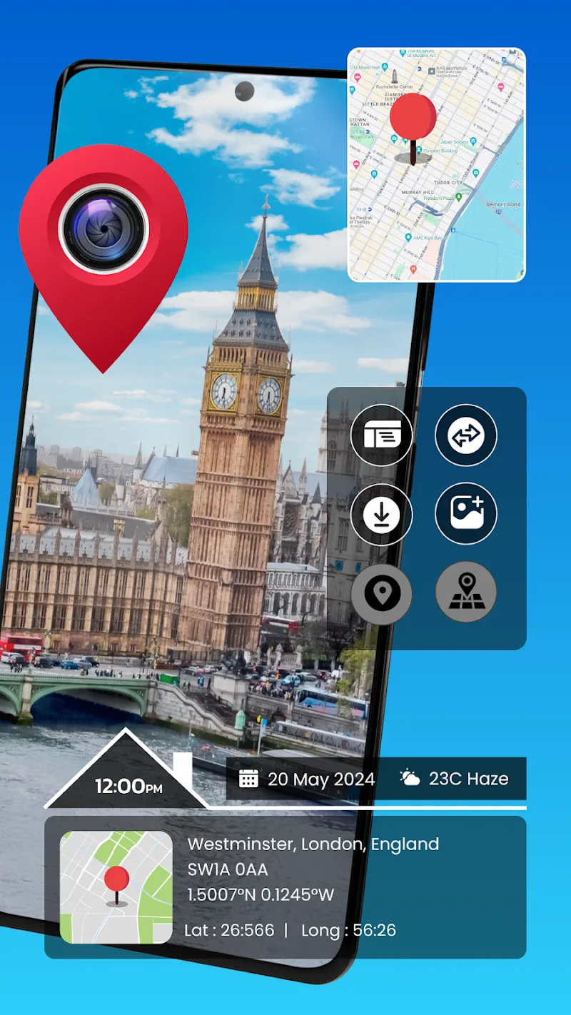
On-photo geotags: When you capture a picture with the app's camera, Gps Photo Location embeds location coordinates and a time stamp so every image carries clear context.
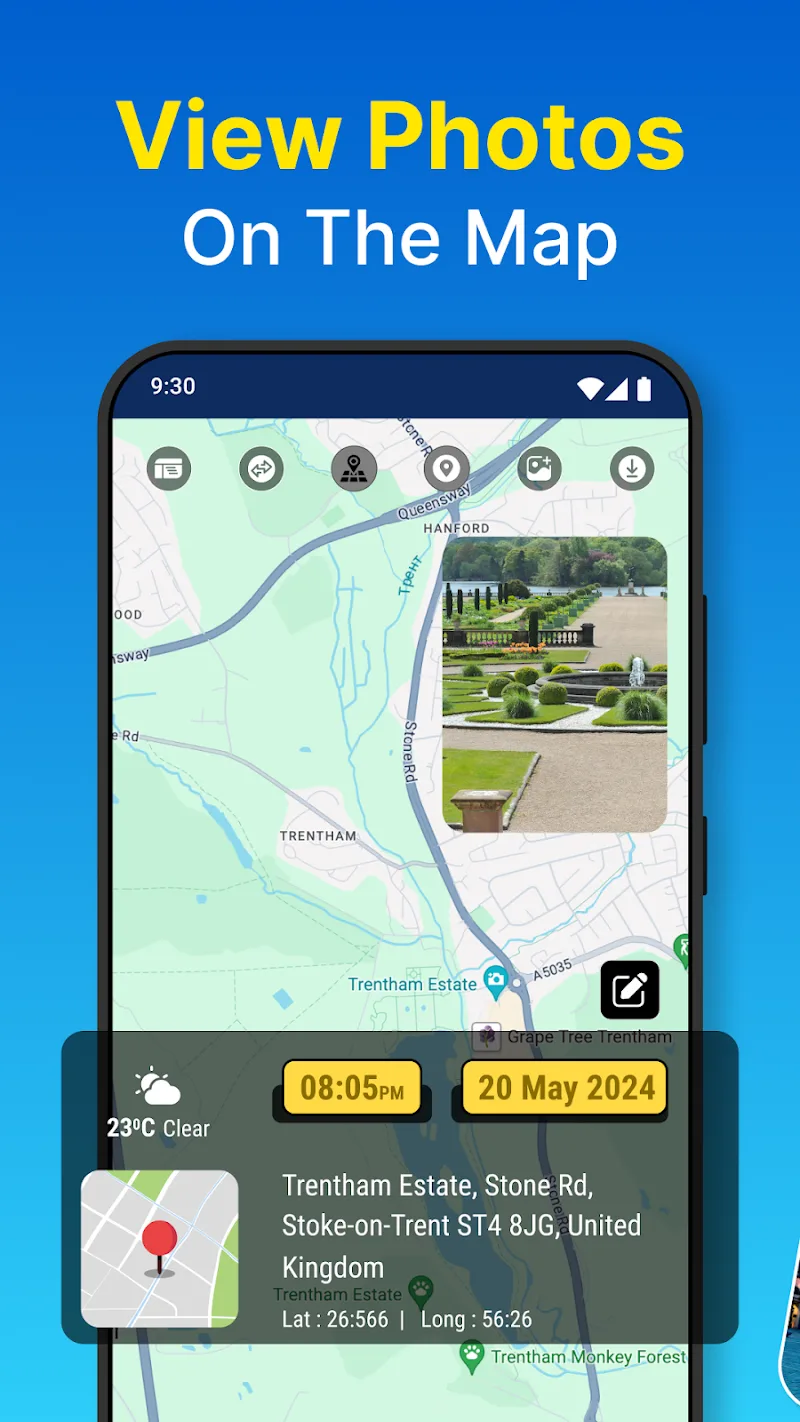
Map-based gallery: Photos are shown as pins on a zoomable map, letting you retrace routes and revisit places without scrolling through long lists.
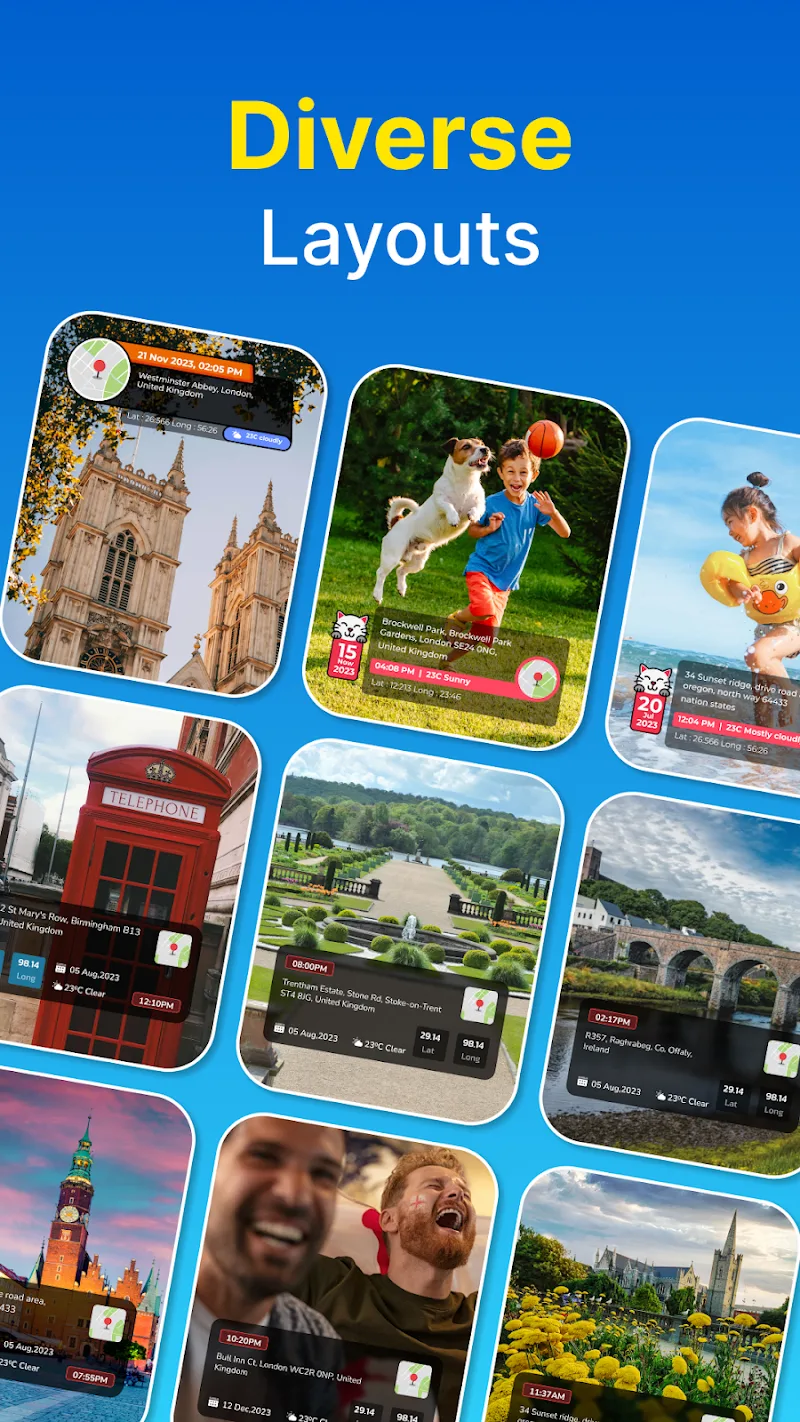
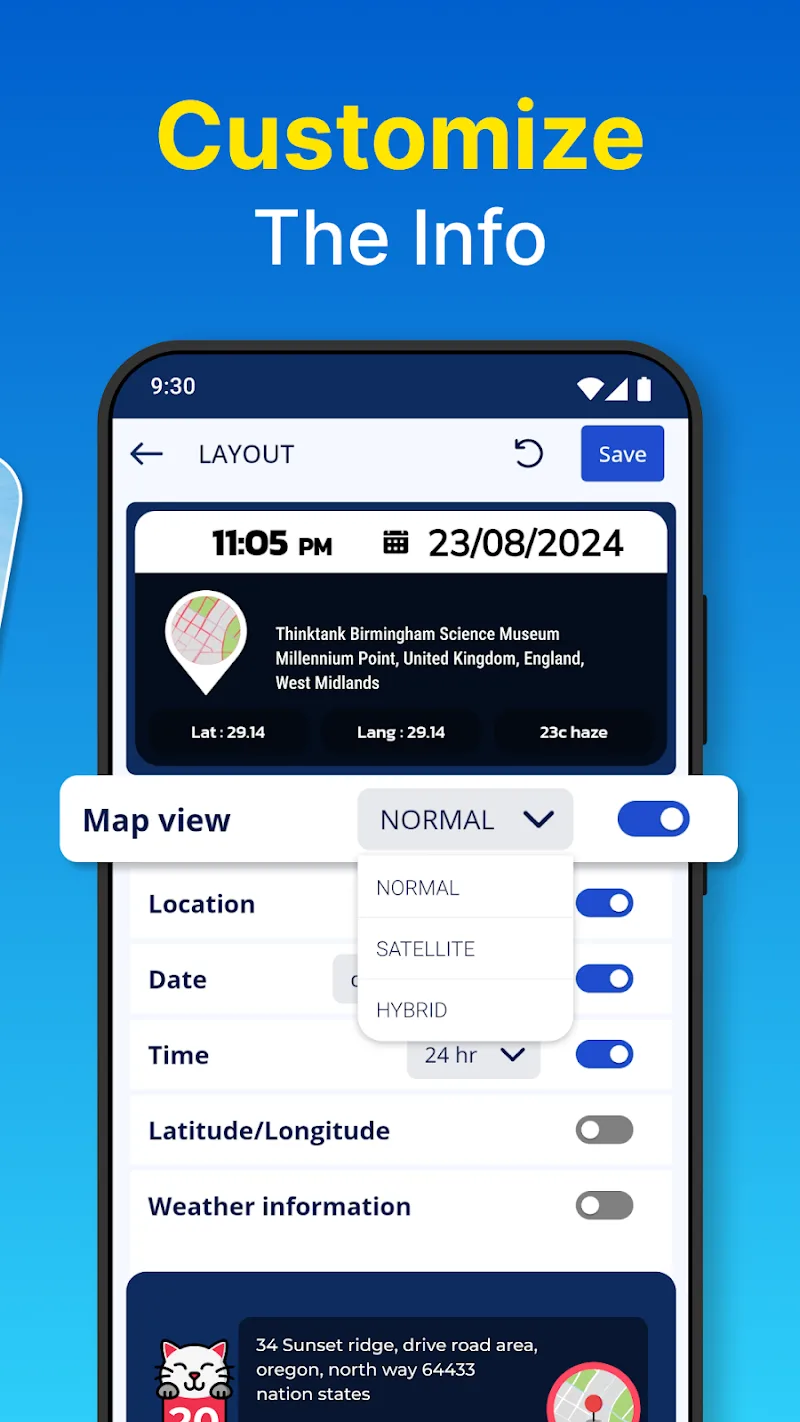
Customizable layout preview: Before saving, you can adjust how the location and time appear on the photo, choosing placement that suits each shot.
Organize and edit in bulk: The gallery offers tools to filter, group, and tidy large photo sets so you can clean up entries from a whole trip in a few steps.
Accurate timestamping: Every image includes the exact capture time on its info board, helping you assemble a chronological record of outings or work visits.
Types of Gps Photo Location
Travel journals: Use Gps Photo Location to build a visual travel map where each destination shows sample photos and notes, ideal for trip reports or memory maps.
Field documentation: For inspections, site visits, or research, the app keeps location-aware evidence tied to each photo which simplifies later review and reporting.
Event and meetup logs: When you attend festivals, meetups, or local gatherings, the map view groups photos by place and time so highlights from each venue are easy to find.
Useful Tips of Gps Photo Location
Enable precise location services: To get the most accurate geotags, allow high-accuracy GPS access and wait for a stable signal before shooting in unfamiliar areas.
Edit display before saving: Preview the layout and move the info box on the image if it covers important details; small layout tweaks improve final presentation.
Use date and place filters: When reviewing long trips, filter by date or geographic area to narrow the map to a single day or a cluster of nearby stops.
Keep a backup of the map gallery: Periodically export or back up the organized gallery so your mapped memories remain safe if you change devices.
FAQs of Gps Photo Location
Can I add location tags to photos taken with my regular camera app?
It depends on whether the app supports importing existing images and editing their metadata. Check Gps Photo Location's import options and gallery tools to see if you can apply geotags or adjust timestamps.
Will the app work without an internet connection?
Basic geotagging and local gallery functions usually work offline, but map tiles and online map features may require a connection. Consider downloading offline maps if you expect to be in remote areas.
How do I change a photo's recorded place or time?
Gps Photo Location includes editing features in the gallery where you can update location information and timestamps before finalizing entries; consult the in-app editor for step-by-step controls.
Final Verdict
Gps Photo Location is a practical tool for anyone who wants their photos tied to places and dates on a single map; it streamlines geotagging and gallery management while offering layout control for saved images, making it a good fit for travelers and professionals who document locations.
Show More
Information
Screenshots
Latest Update











Hot Tags
Latest News
-
![Revealing the Launch Playlists and Cross-Progression for COD Warzone Mobile News]()
-
![March 2024 Free Redemption Codes for Honkai: Star Rail News]()
-
PUBG Mobile Teams Up with Bentley Motors: Luxury Cars, Exclusive Collectibles, and Beyond 2024-04-18
![PUBG Mobile Teams Up with Bentley Motors: Luxury Cars, Exclusive Collectibles, and Beyond News]()
-
![Monster Never Cry is now accessible on both Android and iOS mobile devices. News]()
-
V2.2 of the Farlight 84 update introduces an overhauled Season structure, fresh in-game currency, an 2024-04-16
![V2.2 of the Farlight 84 update introduces an overhauled Season structure, fresh in-game currency, an News]()
-
![Arrival of Genshin Impact 4.6 Update: 'Embers of Two Realms, Twilight of Crimson' News]()
-
April 2024 Clash of Clans Update: Unveiling a Fresh Companion, Enhanced Levels, Chat Tagging, and Be 2024-04-16
![April 2024 Clash of Clans Update: Unveiling a Fresh Companion, Enhanced Levels, Chat Tagging, and Be News]()